Fishing in Forsa-Veka – An Evening Trip by the Ätran
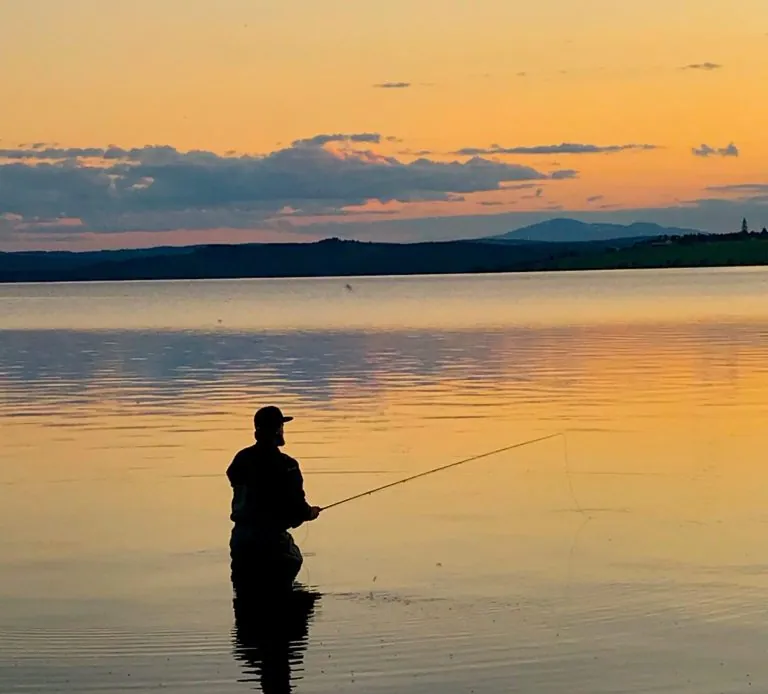
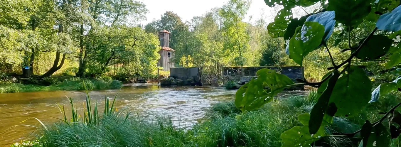
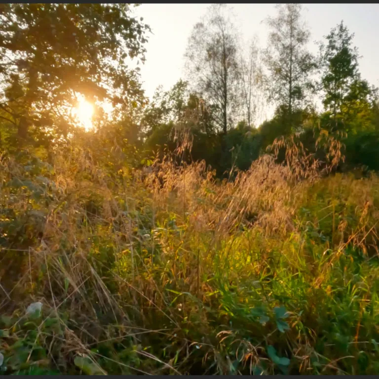
Late one afternoon I arrived at the Forsa-Veka stretch of the Ätran, by the old mill dam. The weather was clear with blue skies, and the evening sun cast its golden glow over the water. I started fishing by the dam, but despite a few casts I saw no rises.
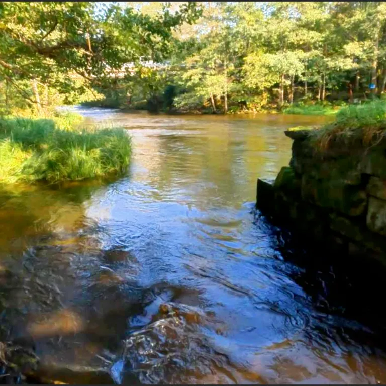
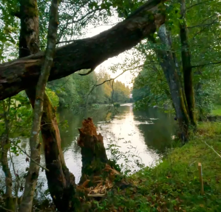
I continued downstream towards the bridge, where the water flowed calmly. Mosquitoes buzzed in the still air, but the fish stayed away. Even though I didn't get a catch, I felt a small tug as I retrieved the fly – a reminder that the fish were there after all.
Even though I went home empty-handed, it was a relaxing evening by the water, with the sounds and beauty of nature as company.
Facts about Forsa-Veka FVO
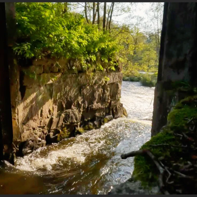
Forsa-Veka Fishery Conservation Area (FVO) stretches from Forsa mill in Dannike to the remains of the mill dam at Veka in Hillared. The area covers both calm and flowing stretches of the Ätran.(projektatranoring.se, iFiske.se)
Fish species
- Perch
- Pike
- Roach
- Trout (fishing for trout requires a special fishing permit)(iFiske.se, projektatranoring.se)
Fishing rules
- Fishing for trout in flowing water requires a special trout fishing permit.
- All trout caught must be released carefully.
- Fishing in calm stretches requires a regular fishing permit.
- Free fishing for children and young people up to age 15.
Fishing permit
Fishing permits can be bought online via iFiske:
https://www.ifiske.se/fiske-atran-forsa-till-veka.htm (iFiske.se)
For more information about rules and conservation work, visit Projekt Ätranöring:
https://www.projektatranoring.se/fiske/fiskevårdsområden/forsa-veka-fvo-26126270
Directions
Finding your way here isn't entirely straightforward. Use the map above to see the exact location and get directions straight from where you are now.
We recommend using Google Maps or another map service for the current route, travel time and any traffic updates.
The address here is a bit tricky (private address: Vekabro 1) – respect it and don't drive onto their property! The coordinates are: 57.63336° N, 13.17788° E
To the car park on the other side of the bridge.
The map loads from Google Maps only when you click.
100 Swedish Hiking Trails!
Looking for the perfect hiking trail? We've gathered 100 of Sweden's most interesting, challenging, and scenic hiking trails in one list!